Fluvial Hazard Zone Mapping

August 13, 2020
1:00 – 3:00 PM MDT
What is the Fluvial Hazard Zone?
Why does it matter?
How does it inform pre– and post-fire planning and response?

Chris Sturm
Colorado Water Conservation Board
Katie Jagt
Watershed Science & Design
Michael Blazewicz
Round River Design
Featuring a demonstration of the Colorado Water Conservation Board methodology and how it can be transferred to other locations.
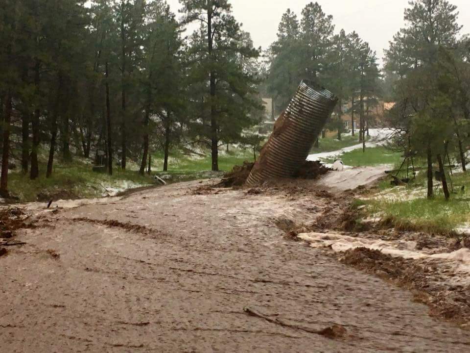
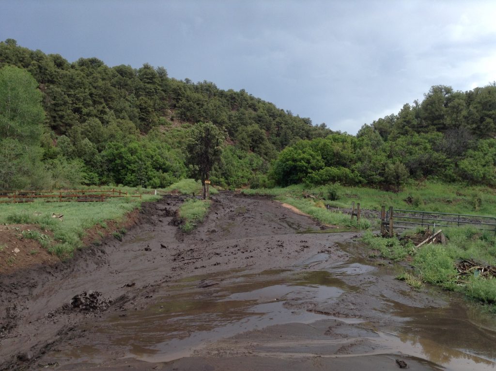
FHZ delineations can identify areas that are vulnerable to flooding and sedimentation that occur after a wildfire, thereby directing the deployment of resources after a fire into watersheds that have the most at-risk assets downstream. In wildfire susceptible areas, the FHZ mapping process can help direct stakeholders toward conservation and rehabilitation of areas critical for the storage of sediment and debris (e.g., areas upstream of vulnerable communities and/or water storage facilities).
